Problem and users
Familiar maps can distort how people perceive the relative size of countries.
Teachers, students and people exploring geography.
 Contact →
EqualAtlas.com
An equal-area map, country comparisons and source-labelled data.
Public project
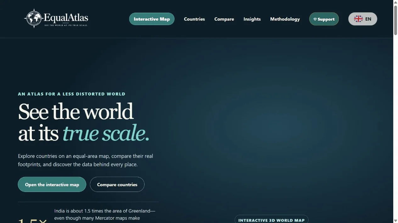
Familiar maps can distort how people perceive the relative size of countries.
Teachers, students and people exploring geography.
Product development: An equal-area map, country comparisons and source-labelled data.
Interactive map and country profiles. Country-area comparisons.
Your workflow
Describe what you want to change in your business. This case helps explain the direction; we will agree the scope of your solution separately.
Case included with your enquiry:
EqualAtlas.com
https://differline.com/equalatlas-interactive-atlas/
Explore independently
Automation assessment, website checks, software selection and project planning — without registration.